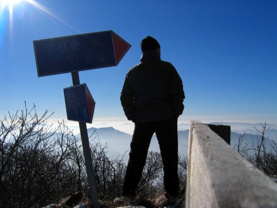
Quiet Korea · Jeongseon, Gangwon · Temples & Mountains
Duwibong: A Mountain with Four Faces
It stands about as high as Sobaeksan, one of Korea's best-loved peaks, but sees a fraction of the hikers. The forest changes as you climb, and on its flank grows a yew more than 1,400 years old. It is the mountain I return to most often.
- Location
- Jeongseon County, Gangwon
- Height
- 1,466 m
- Trailheads
- Dangok Valley · Jamiwon · Jamutgol · Dosagok Forest
- Shortest climb
- Dangok Valley · 1 h 30 min up
- Difficulty
- Moderate
- Natural monument
- The Duwibong yews
A big mountain without the crowds
Duwibong 두위봉 rises to 1,466 m between the towns of Sindong and Sabuk in Jeongseon County. Its broad, rounded shape earned it a local nickname, Duribong, “the round peak,” and it appears in the verses of Jeongseon Arirang, the region's famous folk song. It is close in height to Sobaeksan, yet outside azalea-season weekends you may meet only a handful of other hikers on the ridge all day.
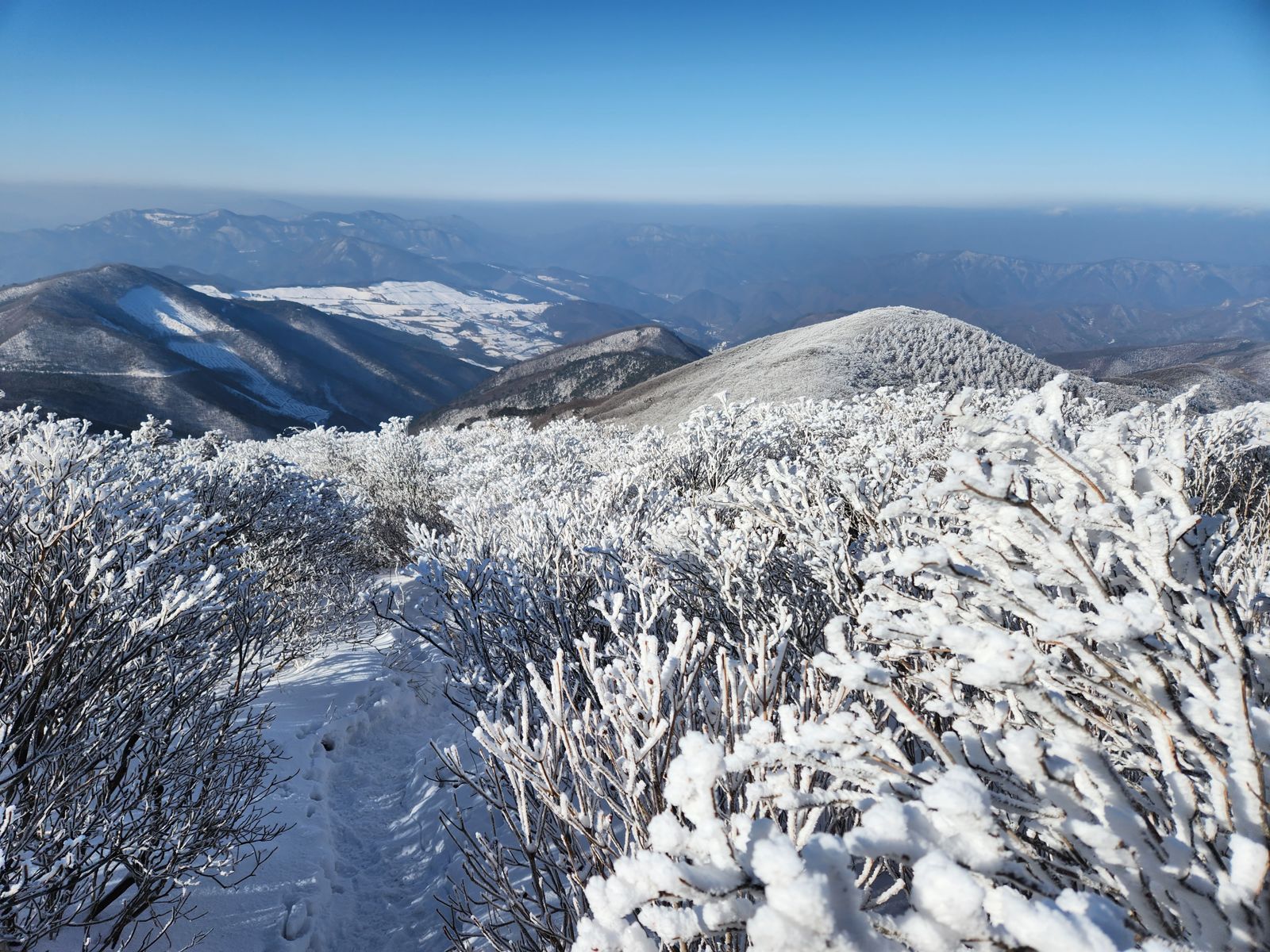
The summit area is a soft ridge covered in low shrubs. Starting from the valleys below, you pass through broadleaf forest, birches and, higher up, groves of yew, and you can feel the forest change with every few hundred metres of height.
Four ways up
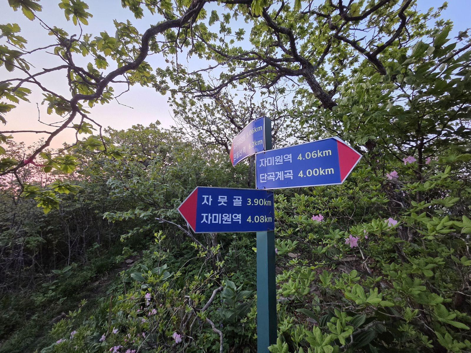
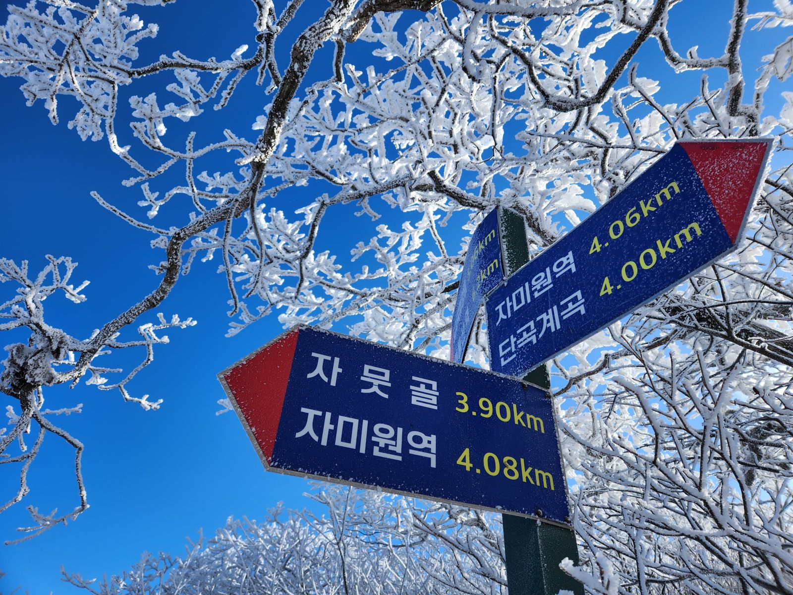
Trails reach the summit from four directions. By the county's trail map, the climb takes between an hour and a half and four hours forty minutes.
- Course 1, Dangok Valley, 1 h 30 min. The shortest and most used route. From the Dangok Valley parking lot it passes Gamnosu Spring and a junction before reaching the summit. The azalea festival is held in this area.
- Course 3, Jamiwon, 2 h. Starts from the Mungok-ri trailhead near Jamiwon Station on the Taebaek Line, so you can arrive by train and start walking.
- Course 4, Jamutgol, 2 h 20 min. A quiet climb up a side valley, past Jeoksangol and Saemgol.
- Course 2, Dosagok Forest, 4 h 40 min. The longest route, and the one that passes the grove of ancient yews. Spend the night at the recreation forest and set off early.
A reason for every season
- Spring
- Azaleas. At this height the flowers come late. From mid to late May the ridge turns pink, and an azalea festival is held around Dangok Valley.
- Summer
- Cold water. The stream in Dangok Valley is so cold that even in midsummer it is hard to keep your hand in it. Soaking your feet after the descent is the reward for a summer climb.
- Autumn
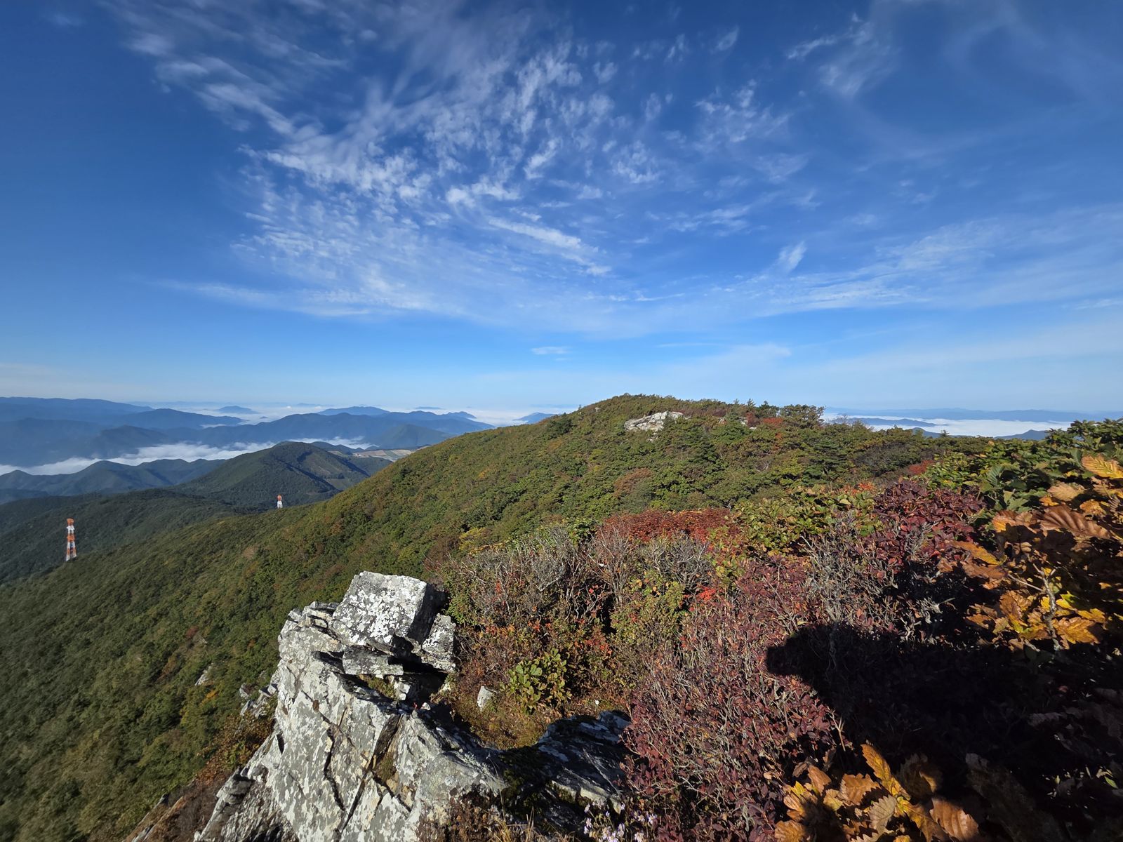
- Color. The shrubs on the summit ridge turn red first, and in the mornings cloud often fills the valleys below.
- Winter
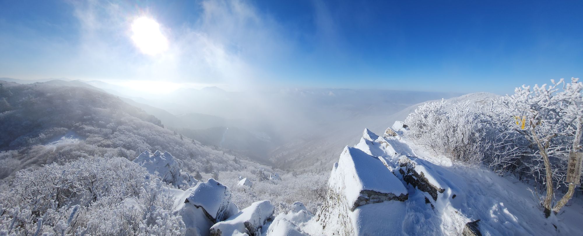
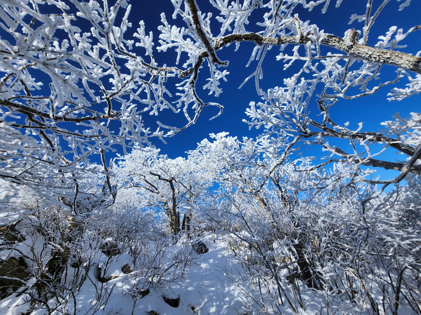
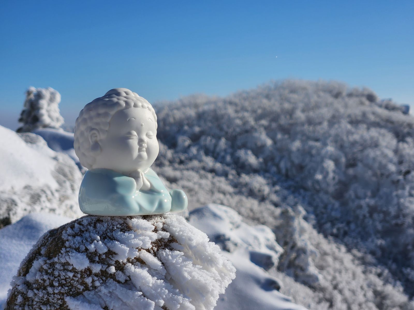
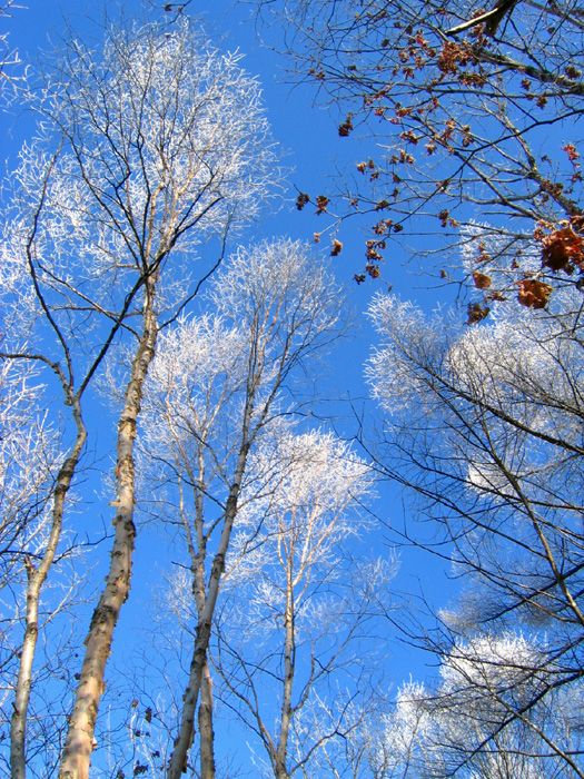
- Rime. Moist wind crossing the ridge freezes onto every twig as rime ice. A white forest under a blue sky is the sight that only a Duwibong winter gives you.
Above the clouds
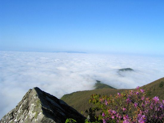
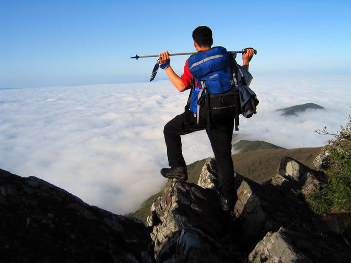
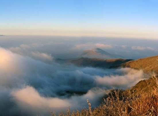
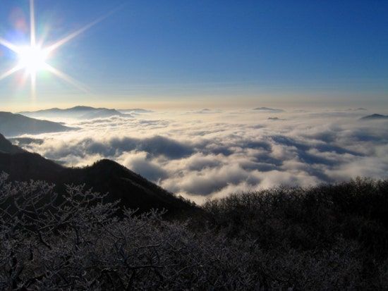
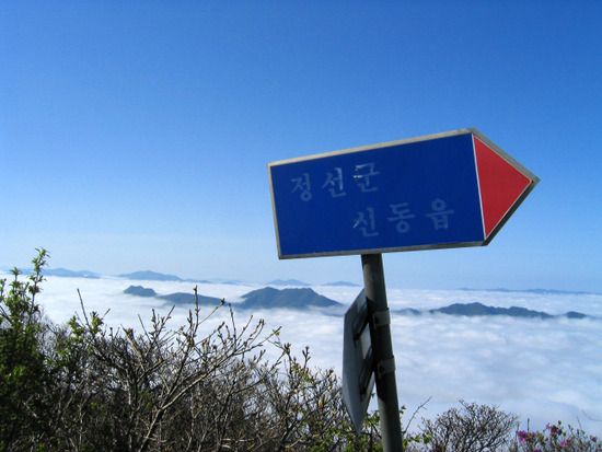
Duwibong often sits above a sea of clouds. Reach the summit at dawn on the right day and the valleys of Jeongseon disappear under white, leaving only distant peaks floating like islands.
But the sea of clouds only comes when you are lucky. It forms most often at dawn after a cold, still, humid night, yet even then many mornings turn out completely clear, or the summit itself sits inside the cloud. The cloud photos on this page were gathered over many years of climbs. Don't climb expecting it; treat it as a bonus if it appears and you won't be disappointed.
A yew 1,400 years old
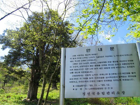
East of the summit, on the trail up from Dosagok Forest, three yews protected as a Korean natural monument stand about 30 m apart. The oldest is estimated to be more than 1,400 years old and is counted as the longest-lived tree in Korea. It took root around the time of the Silla kingdom and has stood in the same wind ever since. Please admire it from a few steps back and keep off its roots.
Reading the forest
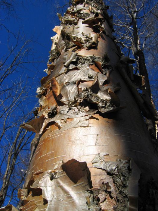
The forest changes as you gain height. One tree worth looking for is the Korean bronze birch, geojesu 거제수나무. It belongs to the birch family, but its bark is a glossy coppery brown rather than white, and it peels away in thin, papery layers. When the sun catches it, the bark shines almost like metal. In winter the fine twigs of the same forest gather rime, and white trees stand in rows against the blue sky.
Visiting
- By car
- Search “단곡2교 주차장” (Dangok 2 Bridge parking lot) or “두위봉 단곡계곡” in Naver Map or Kakao Map. During the azalea festival, free temporary parking opens around Dangok Valley.
- By train
- Get off at Jamiwon Station 자미원역 on the Taebaek Line and walk to the Mungok-ri trailhead nearby. Few trains stop there, so check the timetable first. You can also take a taxi to a trailhead from Mindungsan Station.
- Where to stay
- Dosagok Recreation Forest 도사곡자연휴양림 makes an early start easy.